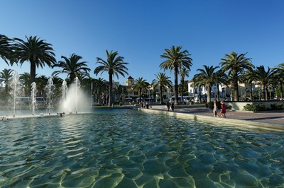

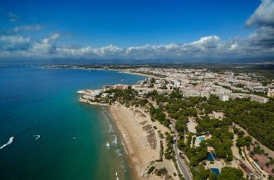

Coastal Path in Salou
The Coastal Path is a 9.49 km-long trail that runs along the coast from Punta de Sant Pere (Passeig Miramar-Plaça Venus area) to Racó de Salou, located in Cap Salou, next to the town of La Pineda.
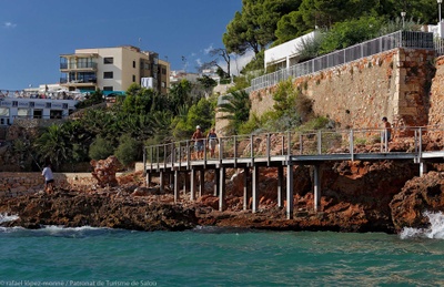
Historically, the coastal paths followed the coastline and were used for coastal surveillance or by fishermen. The recovery of this path brings back the chance to walk along the coast at points where it had been impossible for many years.
Discover the Coastal Path in Salou
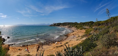
The Coastal Path discovers the great natural and landscape wealth of the area. In addition to the different views that can be discovered along the way, the path runs through different coves and beaches of Salou, becoming a different way to discover the Cap Salou area.
From Punta de Sant Pere, the trail heads north and passes Ponent Beach, Llevant Beach, Pilons, Capellans Beach, where you can see the remains of the old lazeret, built in 1829. The tour continues along Llenguadets Cove, from where you can see the bunkers built during the Civil War. The path continues along different beaches and coves of great scenic interest such as Llarga Beach, Penya Tallada Cove, Font Cove, Vinya Cove and Crancs Cove. The route continues to Racó de Salou, passing through a wooded section where we can find typical local vegetation and several viewpoints that are part of the Viewpoints Route.
The path reaches a maximum height of 77 meters above sea level. We recommend to check the map below which details the sections that are suitable for everyone and those where there are stairs or that run over the rocks.
Get to know Cap Salou
Cap Salou reveals yet another possibility. Due to its location, it is a place of interest for the observation of seabirds that are difficult to see from the beach. Thus, with the help of telescopes and other types of optical instruments, it is possible to observe shearwaters, skuas, gannets, puffins, auks, loons, loons, common storm-petrels and sea ducks, such as common scoters and spectacled scoters. Several species of gulls can also be observed, among which Audouin's gull is relatively abundant and easy to see in spring and autumn.
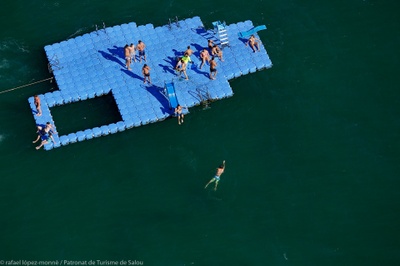
The Coastal Path is one of the main places to visit when thinking about what to do in Salou.
Don't miss it!

