


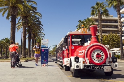

IgersMapSalou
IgersMapSalou is a virtual photographic map, an experience that allows you to discover Salou in a totally different way, through the lens of your camera.
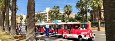
With IgersMapSalou, you'll be able to explore the most emblematic places in the city, but in a much more interactive and exciting way. You'll be able to get to know each place in detail, see stunning images and discover the stories behind Salou's points of interest.
What IgersMapSalou
The best thing about IgersMapSalou is that you can share your own images and experiences on social networks, so that other users can see the city through your eyes. You can also interact with other users and receive tips and recommendations on the best places to take photos.
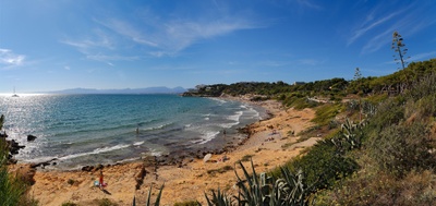
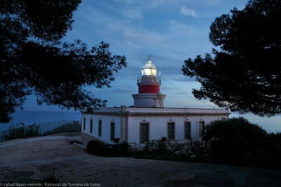
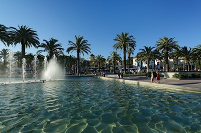
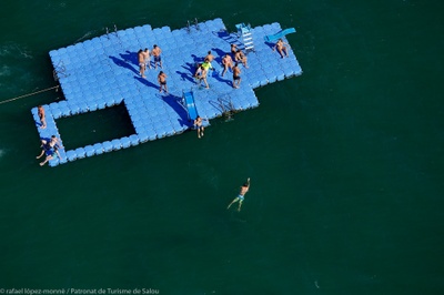
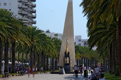
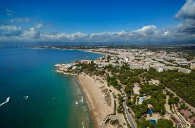
Imagine exploring Llevant Beach at sunrise, discovering the beauty of the Salou lighthouse at sunset, or taking a photo of the impressive PortAventura World theme park. All this is possible with IgersMapSalou!
Oh, and before you go, we leave you some videos, so you can see a little more about how it works, and you can try it out. You won't regret it!
|
|
